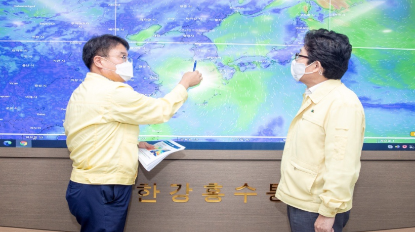
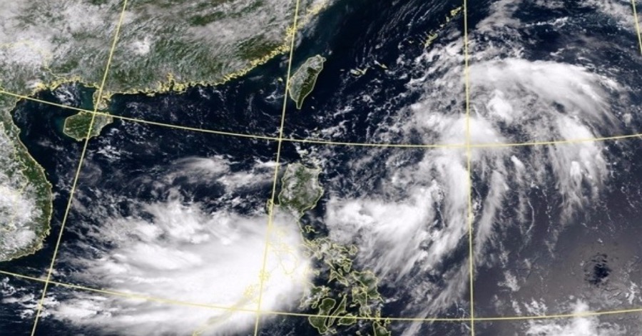
SEOUL, Aug 24 — The powerful Typhoon Bavi was churning toward the Korean Peninsula on Monday from the sea south of Korea and expected to pass by the southern island of Jeju the following day, reports Yonhap news agency.
The Korea Meteorological Administration (KMA) said the season’s eighth tropical storm, formed off the east coast of Taiwan, is currently some 270 kilometres off the west coast of Japan’s Okinawa Island and travelling at about 9 kph.
As of 3 am Monday, its central pressure was 980 hectopascals, with its highest wind speed of 102 kph.
The typhoon is forecast to pass off the west coast of the resort island of Jeju on Wednesday afternoon and likely to move nearest to Seoul early Thursday.
The KMA expected the storm, currently relatively weak in power, to gain strength and peak in force at around 3 am Wednesday.
As the peninsula is forecast to come under its influence from Tuesday night till Thursday, the KMA advised safety measures be put in place before it arrives.
The weather agency warned of a peak gust reaching 144-216 kph in Jeju and the western coastal regions of the Jeolla provinces Wednesday night till Thursday. The highest instantaneous wind speed can reach 126 kph in the country’s south and west areas.
While its path and size can change as the typhoon approaches the peninsula, the KMA issued safety warnings of storm surges and strong winds for low-lying coastal areas that lie in the storm’s path.
The country is still reeling from the aftermath of the longest rainy season on record this summer, with torrential rains and flash floods killing dozens of people and wreaking havoc on buildings, farmlands and infrastructure nationwide.
Sources: BERNAMA


Leave a Comment