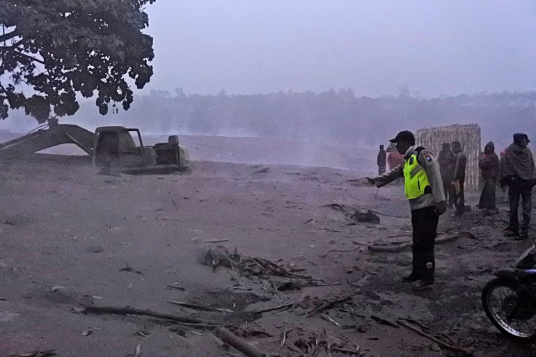
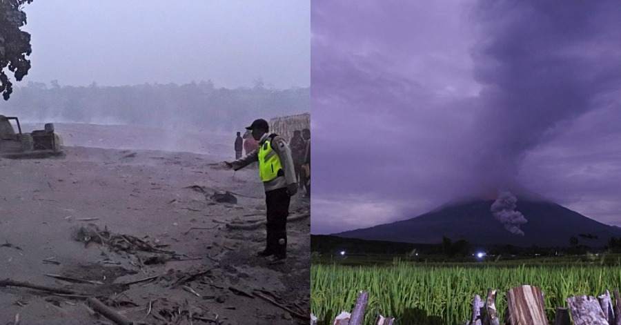
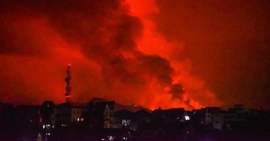
Hot ash is seen covering the slopes of Mount Semeru, tumbling as far as 3,000 meters on Tuesday, triggering the panic of the people nearby.
The mountain in Lumajang is populated densely, and the authorities are still trying to evacuate around 550 people that live near the mountain slopes.

Semeru has not yet been alerted by Indonesia’s Center for Volcanology and Geological Hazard Mitigation, since it has been at its highest level when it began erupting in May.
The people are advised to stay at least 4km away from the crater.
The eruption here happened two days after Mount Ili Lewotolok emits hot clouds as high as 4,000 meters into the sky, evacuating around 4,6000 people from the Lembata island in East Nusa Tenggara province.
Ili Lewotolok’s alert was raised to the second-highest level on Sunday by the volcanology agency when sensors picked up on the increased volcanic activity.
The mountain has been rumbling since 2017. The country’s transportation ministry had mentioned a flight warning was issued when the eruption led the local airport to be covered in ash.
Mirzam Abdurrahman, a volcanologist from the Bandung Institute of Technology, said volcanic activity can increase relatively simultaneously in the different mountains with the same triggers, because the volcanoes are in the same Sunda Arc which covers the islands of Sumatra, Java, Bali, West Nusa Southeast, and East Nusa Tenggara.
The mountains are among more than 120 active volcanoes in Indonesia, which is prone to seismic upheaval due to its location on the Pacific Ring of Fire, an arc of volcanoes and fault lines around the Pacific Ocean.
Source: Al Jazeera





Leave a Comment