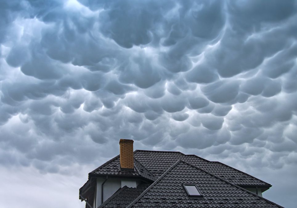
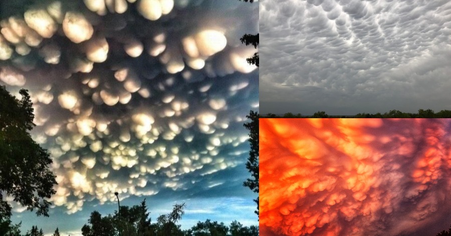
Mammatus cloud is a cellular pattern of pouches hanging underneath the base of a cloud, typically a cumulonimbus raincloud, although they may be attached to other classes of parent clouds. The name mammatus is derived from the Latin mamma that means ‘udder’ or ‘breast’. Mammatus cloud is a cloud supplementary feature rather than a genus, species or variety of cloud.
The distinct ‘lumpy’ undersides are formed by cold air sinking down to form the pockets contrary to the puffs of clouds rising through the convection of warm air. These formations were first described in the year 1894 by an individual named William Clement Ley. Mammatus clouds are most often associated with anvil clouds and also severe thunderstorms.

It is true that mammatus clouds can appear around, before, or even after a storm. Contrary to a particular myth, they do not continue extending downward to form tornados, but they are interesting in part because they are formed by sinking air. Most clouds are formed by rising air. Mammatus clouds can appear ominous. But, in a way that is so common in nature, their dangerous aspect goes hand in hand with magnificent beauty.
While they are not particularly rare, mammatus cloud can be eye-catching and also picturesque, especially at sunset. If you are a cloud spotter looking for mammatus clouds, pay particular attention to the underside of a thunderstorm anvil cloud to increase your chances of spotting the mammatus cloud in the air.
The mammatus cloud feature can be found amongst six cloud types:
- Cirrus
- Cirrocumulus
- Altocumulus
- Altostratus
- Cumulonimbus
- Stratocumulus
Sources: Met Office.


Leave a Comment