
The new height measurement is being analyzed by scientists, who Nepal and China’s survey says that the infamous Mount Everest is more than two feet higher.
It would be that Mount Everest is 29,031.69 feet above sea level, according to survey results presented today. That is more than two feet higher than the altitude previously recognized by the government of Nepal.
Announced on December 8 by a joint statement by the Survey Department of Nepal and Chinese authorities is a culmination of a multi-year project. The survey has been closely followed by the geographic community—particularly scientists analyzing how a devastating 7.8 magnitude earthquake in 2015 affected the region.
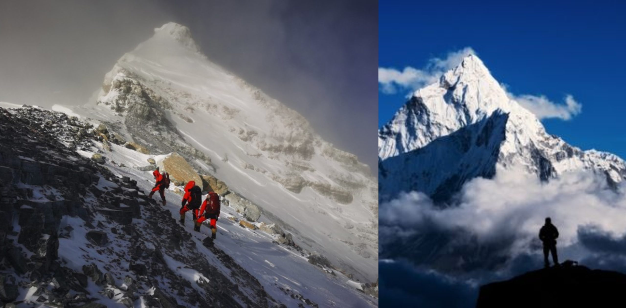
Just a while back in spring, a small Nepalese surveyor group had climbed the mountain, reaching the top at 3 a.m.
“We want to deliver the message that we can do something with our own [country’s] resources and technical manpower,” Khimlal Gautam, chief survey officer for the project, told National Geographic last year.
In 1856, while working for the Great Trigonometrical Survey, mathematician Radhanath Sikdar had found that Mount Everest is in fact the highest mountain on the surface of Earth.
In 2019, the Nepalese team decided to use the two known techniques, the theodolite, and the GPS technology, to make sure the survey is complete.
On May 22, 2019, Gautam summited Everest with four teammates and deployed a GPS receiver, along with ground-penetrating radar to measure the depth of the snow piled on top of the rock. Meanwhile, teams of surveyors waited at eight sites with views of Everest’s summit to fix its elevation at sunrise, when the atmosphere is most clear, with modern laser theodolites.
But after the Survey Department of Nepal completed its field work last year, the project became mired in international politics. During Chinese President Xi Jinping’s state visit to Nepal in October 2019, officials announced that the two countries would cooperate in re-surveying the mountain, delaying the revelation of the new height. A team of Chinese surveyors was at work on the north side of the mountain this spring measuring the summit using China’s network of Beidou satellites, a rival to the GPS system.
Now that the results have been announced, representatives from both countries expressed extreme confidence in the new altitudes. But Gautam is quick to point out that no matter how accurate, every survey comes with some margin for error. “In survey mapping, we can’t find the exact point or altitude,” he says. “We’re trying to find the MPV: most probable value.”
Source: National Geographic


Leave a Comment